

This summer, Sherri & I decided to make our mark by backpacking the total Superior Hiking Trail (SHT). It’s the longest extended trip that we’ve ever tackled. Part of our motivation was to see if we have enough hootspa to complete the Pacific Crest Trail (PCT).
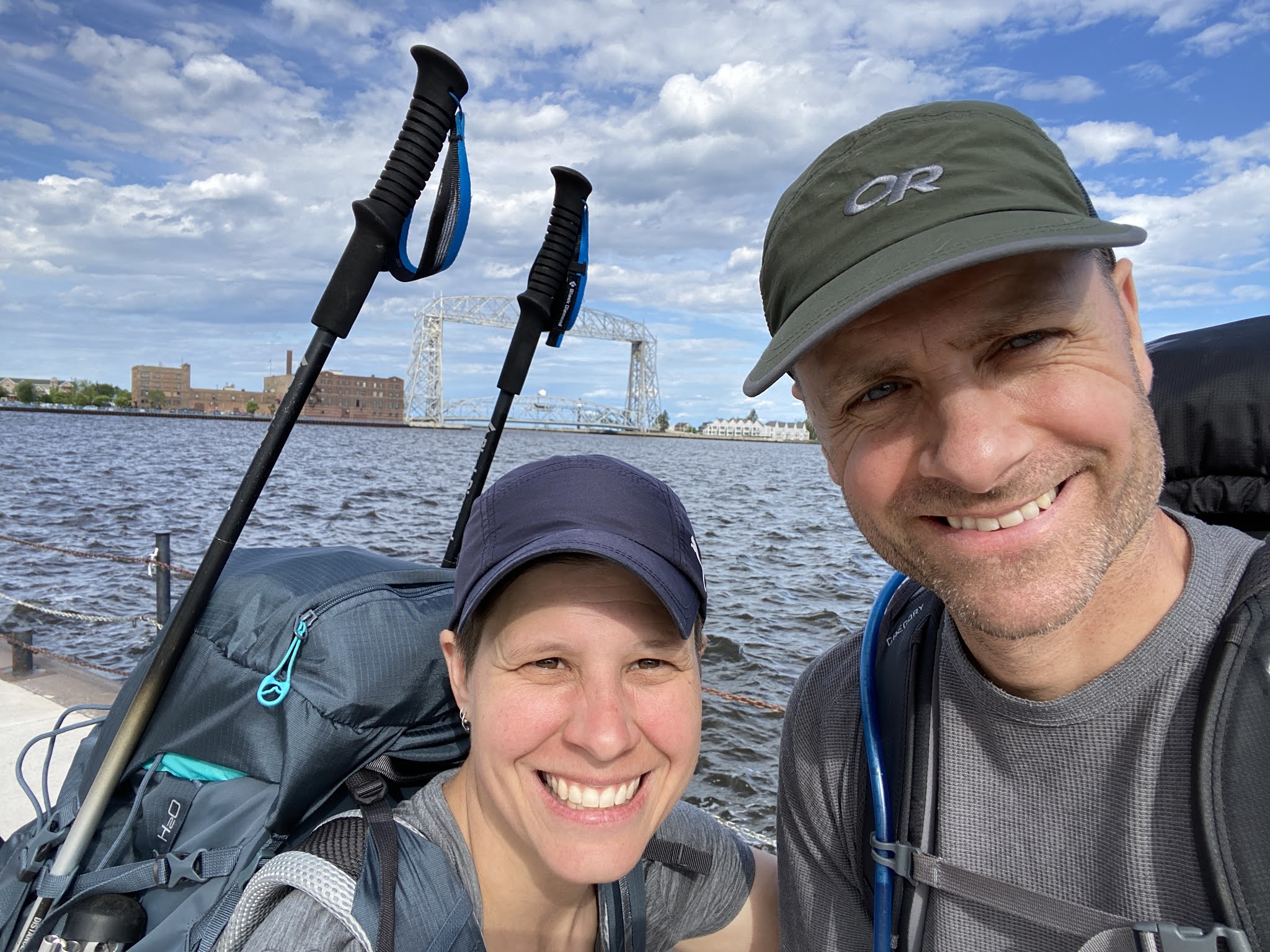
To start our trip, my dad accompanied Sherri & I up into the north country to help us set up a shuttle. Passing through Duluth, we ran into a detour because of Grandma’s Marathon, granting us a well deserved pit stop at Castle Danger Brewing for some ale. While reminiscing about family camping stories, Dad shared some history about Lake Gitchi Gami, with song lyrics and all. Afterwards, Sherri set up camp at Grand Marais campground while Dad and I kicked up dirt along a stretch of double track winding through the forest until almost touching the bottom hem of Canada’s kilt. We abandoned our Prius at the northern terminus with the hope of one day reuniting after a 300 mile, 3 week backpacking trip. Hopefully, our car would still be there with the catalytic converter still intact. After returning to the campground, Dad treated us to DQ right as they were closing up shop. We shivered while spooning up our Blizzards, watching the sun drop off the edge of Lake Superior.


Day 1: Wisconsin Border to Jay Cooke State Park (10.41 miles)
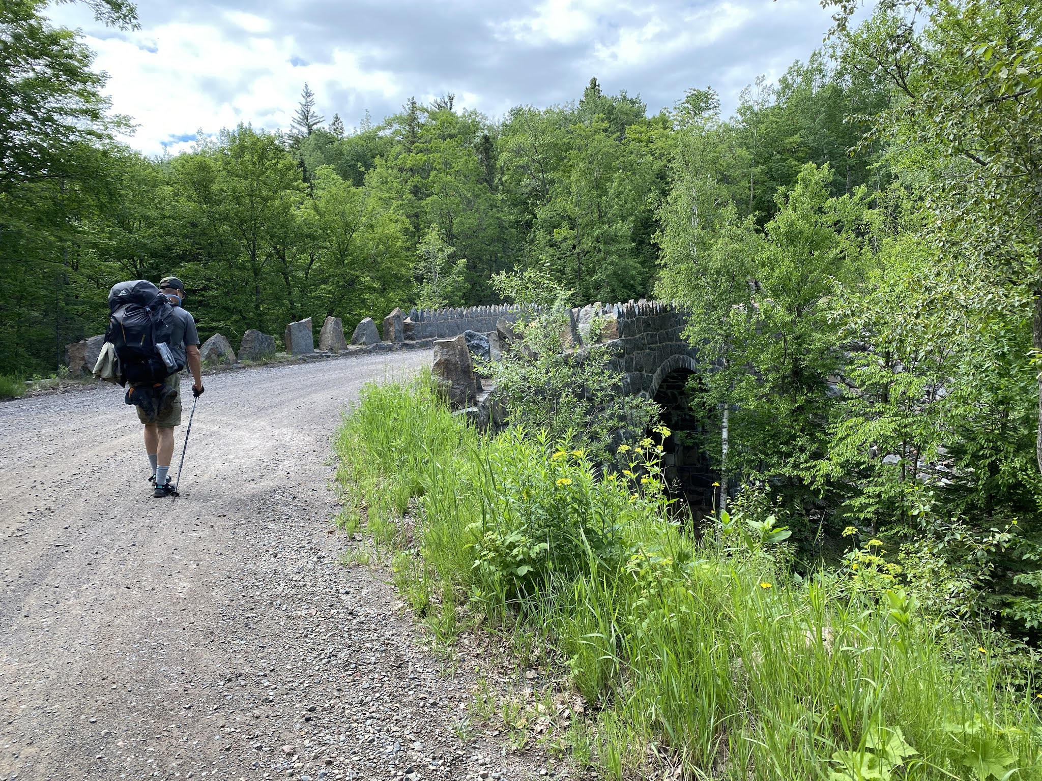
Dad dropped us off at the end of an abandoned dirt road in the rain as we suited up with packs under cover of the hatchback. We needed to backtrack a few miles of trail in order to touch the official Southern terminus of the SHT at the Wisconsin border. It rained the entire 9 miles until reaching the suspension bridge at Jay Cooke State Park. We had high hopes that the visitors lodge would still be open, but it looked doubtful peering through the darkened windows. To our surprise, the door opened, and we could still feel heat from a few smoldering embers in the fireplace. According to the sign, we still had 30 minutes of precious dry time in the lodge. After sprawling out our gear, we pulled up a chair next to the fireplace to cook some broccoli cheese soup. We eked out a few extra minutes before a Park Ranger showed up ready to lock the doors. He recognized Sherri, and they soon made the connection that he graduated from North Branch High School.


Day 2: Jay Cooke State Park to Spirit Mountain Campground (18.17 miles)
This section led us up into the rocky bluffs surrounding Duluth. During our climb, we crossed paths with a man who said, “You dudes must be through hikin’ the SHT- so awesome! I did the Appalachian Trail a few years back.” He went on to give us a bunch of unsolicited backpacking advice, talking about "Hiker Trash," and leaving us with some surfer deep thoughts. “The trail always provides man, even though it might not be what you need, the trail always provides…(long, awkward pause).” Alrighty then. Closing in on our camp, we looked forward to taking showers at Spirit Mountain campground, but to our dismay, we learned that a city water main had burst, leaving our part of town completely out of water. Worst of all, we had drunk all of our water reserves. Sherri actually decided to hunker down in the bathhouse to charge her phone and read. Several hours later, the triumphant sounds of gurgling water pipes finally enabled us to freshen up, wash clothes, and stock up on drinking water before heading to bed.


Day 3: Spirit Mt. to Bagley Nature Area (18.93 miles)
Today we expected to hike mostly around downtown Duluth, but surprisingly, the trail led us along a beautiful chain of waterfalls and cascading rivers as we detoured around the city. Unfortunately, I had become somewhat concerned as I felt a familiar pain of plantar fasciitis developing in my arches. I felt as though I had strapped 2x4 planks to the bottom of my feet. After inspecting my boots, I discovered that I had completely forgotten to put any insoles in before the trip. Thankfully, I was able to pick up a pair of Superfeet insoles in Downtown Duluth after the trail dropped onto the boardwalk where we also snatched a few beers with a couple of MONDO burgers and fries.


Day 4: Bagley Nature Area to Lone Tree (14.71 miles)
The highlight today was when we stopped for breakfast at a market, snatching up a couple of doughnuts from the bakery with homemade maple frosting. The rest of the day took a nosedive as we appropriately coined the name for this section of the SHT- The SLOG! We trudged along endless miles of “snowmobile trails” that felt more like walking the forest cutouts under powerlines. This path checked all four of the Bad News B’s (Balmy, Buggy, Boggy, and Boring). Any of the B’s by themselves are easily tolerable, but stir them all together, and you’ve got yourself some serious stink soup for lunch.


Day 5: Lone Tree to Fox Farm Pond (10.46 miles)
The SLOG continues, leading us deeper into the backwoods where not even a trace of water could be found until crossing a bridge at Sucker river, which provided some much needed reprieve during the heat of the day as we swam and filled up on water. Unfortunately, it also marked the point where we pulled out the bug nets to stave off the relentless onslaught of mosquitoes and horseflies. A pair of swans wading in Fox Farm pond greeted us at our campsite. Completely worn out, we crawled into the tent during broad daylight for protection from the bugs, listening to a myriad of swamp sounds echoing across the water, including beaver tail splashes, toads croaking throughout the night, humming birds whizzing past the tent, and grouse thumping their wings in the woods.


Day 6: Fox Farm Pond to Ferguson (14.26 miles)
More empty miles of overgrown and neglected trail through old growth forest. This path could use a serious beard trimming. The trail had become more of a hairline fissure through chest high weeds, rather than an inviting passage through the wilderness. We actually took some time to start a fire at our campsite, helping keep the mosquitoes at bay while washing our clothes and spit bathing (splashing cold creek water from a bucket all over our body with a few drops of Campsuds. Repeat process for washing dirty underwear).

Day 7: Ferguson to Crow Creek (21.14 miles)
On our way out of the campsite today, Sherri treed a porcupine that sluggishly kept peering down at us with hopes that we were no longer there. We finally ran into some scenery today with refreshing vista views of Lake Superior, but our hike ended on a sour note when we were forced to reroute around a “private property closure,” bumping us up to a painful 21 total miles before reaching the next campsite- ugh! Our dogs were barking before we hit the reroute, so the last few miles practically brought us to our knees. About a mile away from the campsite, we heard a group of gaggling hikers charging up the trail behind us. Worried that we might have slim pickins at the campground, we put on the hustle, which looked more like the Senior Olympics in our condition. Whenever we couldn’t hear the Zombie horde of hikers anymore, we slowed our pace a bit, and then kicked it back up a notch when the cackling resumed. After slipping onto a wrong turn following a spur trail, we frantically backtracked only to find that the hikers weren’t even camping- whew.


Day 8: Crow Creek to Blueberry Hill (13.14 miles)
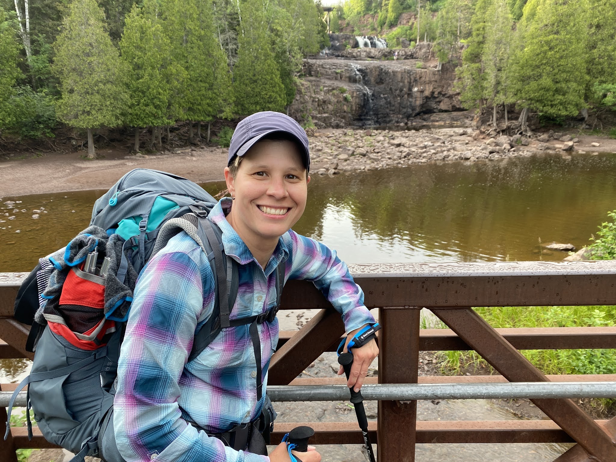
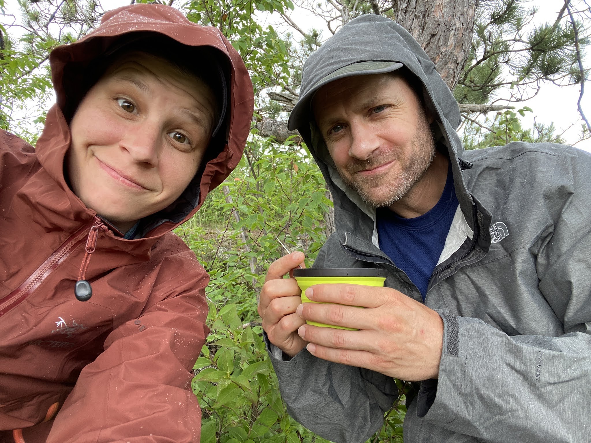
Waking up to rain may not have been ideal, but our campsite was well sheltered beneath a canopy of towering evergreens, affording us the opportunity to prepare some oatmeal and coffee. As soon as we began our hike to Gooseberry, it started coming down in buckets, but by the time we reached the visitors center, the sun decided to show up for our picnic on the rocks above the upper falls. We set up our chairs to soak our feet, acting as the peanut gallery while people attempted to jump across a channel of water to an island, offering plenty of carnage entertainment! Hiking through the campground, we washed up and laid out our gear to dry at a picnic area. A couple hours later, the sky turned ominously dark. Looking for cover, we noticed a vacant building nearby called the Ladyslipper Lodge, conveniently equipped with electrical outlets and a stone fireplace. After laying out the rest of our laundry on the benches inside, we cooked some Mac & Cheese with tuna, topped off with some hot chocolate. After the storm blew over, we hiked another few miles through the lower Gooseberry Falls area out to the Gitchi-Gami trail leading us along gorgeous lakeside views amidst the post storm sunset.


Day 9: Blueberry Hill to Cove Point Lodge (15.26 miles)
This morning we clamored up the cliffs of Blueberry Hill where we enjoyed fresh blueberries and hot oatmeal while overlooking Lake Superior. Then, we dropped into the Splitrock River valley where we found a cozy place to soak our aching feet beneath a waterfall. Passing several uninviting beaver pond campsites that afternoon, we decided to push on through a few extra miles to our resupply point. When we arrived at Cove Point Lodge, Sherri asked if there were any vacant rooms available, and the manager offered us a luxury suite for a discounted price. It was a no-brainer as we took advantage of every pampered privilege they had to offer. We sipped on some decaf with ginger cookies on our private deck overlooking the lake, took the elevator whenever possible, swam in the pool, hot tub, and sat for a spell in the sauna before ordering walleye and burgers at the bar with a Castle Danger Stout. During dinner, we got into a conversation with a couple on their honeymoon who saw Sherri place her hand over my heart while whispering something in my ear. They mentioned how in love we looked. We’ve been teasing each other ever since by reenacting the hand over heart PDA. On our way back to our room, we noticed a huge bookshelf of DVDs, and challenged each other that if we came up with a match within our top 3 picks, we would commit to watching it before bed. Sure enough, we both landed on The Matrix, and though there were several eyelid peeling back moments to stay awake, we made it all the way through before calling it a night in an actual bed together.


Day 10: Cove Point Lodge to Bear Lake (9 miles)
We totally slept in, enjoying some hot coffee with a continental breakfast from the lodge. I took a chance ordering the Scandinavian breakfast, discovering that I LOVE pickled herring, continuing the genetic order of my mother’s taste in food. Check-out was 11am, and that’s exactly when we departed, continuing the second half of our journey with full packs again. Why does food have to be SO heavy? After a steep and strenuous hike up and down several peaks, we reached a bluff overlooking Bean and Bear Lake. It was the perfect vantage point to observe a loon soaring across the glassy surface, lightly dragging its feet in the water until gliding into a slow motion landing. It’s fun watching nature show off! The campsites were full, but we were grateful when a family offered a patch of their claim. We enjoyed playing aunt & uncle with their 3 kids, visiting along the edge of the lake, swimming, watching the sunset, and listening to loon calls together.


Day 11: Bear Lake to Kennedy West (11.33 miles)
We woke early to catch the sunrise while sipping some coffee along the lakeshore. The trail to the latrine was practically straight up a cliff, and was really difficult to climb. We saw one of the girls from the family that we camped with attempting to boulder up Bathroom Hill. A few minutes later we heard a desperate call echo across the lake from above, “MOMMY...I need toilet paper.” After some repeated bellowing, a labored response rose from the tent below, “I’ll be right there Honey.” Perfect timing for one of our classic cheers- “High five no kids!” Continuing on the trail, it was a beautiful hike through Tettegouche State Park with tons of climbing, birdseye views of Twin and Upper Falls, and grand vista views of the Baptism River valley.


Day 12: Kennedy West to North Edge Lake (14.16 miles)
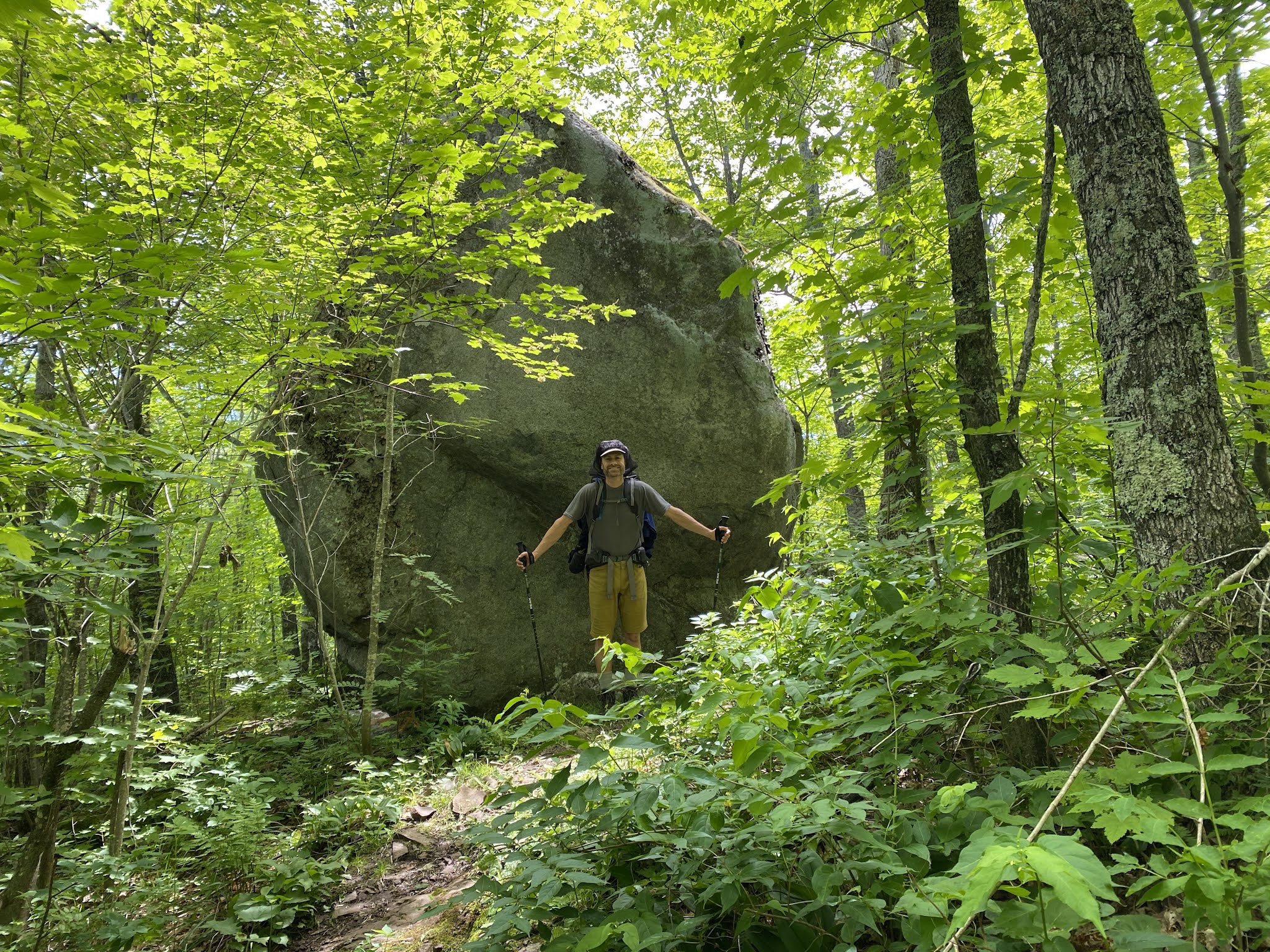
Today we climbed along a popular rock climbing ledge known as Section 13. At the base of the cliffs, huge boulders lay strewn across the forest floor, some 20 feet tall. We always found it a little awkward strolling into the hubbub around popular hiking areas within State Parks, where everyone around us smells like a cologne bomb that just exploded, exposing the fact that we apparently did not smell like that. Backpacking to drive-in locations feels somewhat deflating compared to exploring the more remote stretches of wilderness where the scenery is basically inaccessible by any other means. It’s good for the soul to be completely off the grid once in a while.


Day 13: North Egge Lake to East Caribou River (15.83 miles)
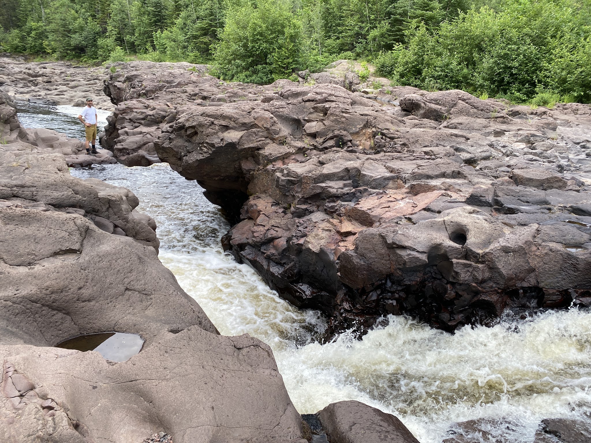
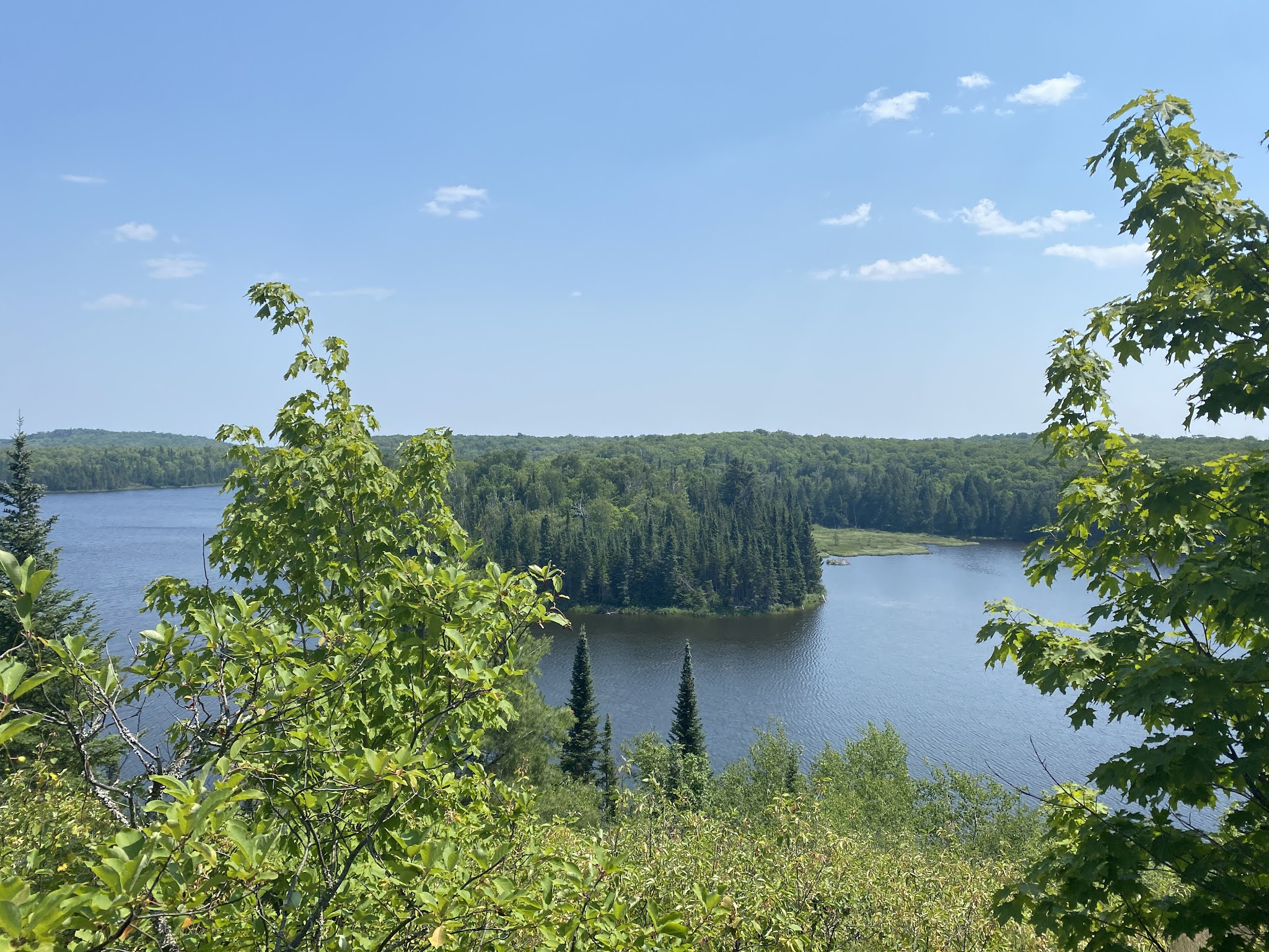
This morning we packed up early to put in a few miles during the cool of the day. We stopped at Lilly’s Island for breakfast just in time to observe a deer swimming across the fog covered lake. The trail was quite rewarding walking alongside the Baptism River. Later, we dropped into the Manitou River canyon where we had lunch at a bridge crossing, soaked our feet, and swam in the rapids. We camped that night alongside the Caribou River, where we enjoyed another dip in the water to cool-off after a really strenuous hike through George Crosby State Park. Looking back, this is probably my favorite section of the entire SHT, staring down into a treacherously steep gorge with the constant roar of churning rapids. This will definitely be a place to revisit.


Day 14: East Caribou River to South Cross River (13.16 miles)
Today was fun because we got a chance to explore some of the backcountry stretches of the Cross River, bringing me back to some of my absolute favorite North Shore memories of cliff jumping and picnics along the river with family. Sherri and I continued the tradition today, even though it was sad to learn that much of the Cross river along hwy. 61 is now condemned to foot traffic due to a high number accidents from careless people doing stupid things.


Day 15: South Cross River to South Rollins Creek (13.29 miles)
This morning we enjoyed breakfast and coffee by the river, and then began our passage through Temperance River State Park. We conducted a river crossing at the Temperance, and explored around the Falls before climbing Carlton Peak for a fantastic view of the shoreline. Several miles later, we came across some weary travelers who said, “Finally, some other hikers on the trail. Do you know where Carlton Peak is?” It pained us to tell them that they had hiked over 4 miles in the opposite direction- oofta!


Day 16: South Rollins Creek to Spruce Creek (14.95 miles)
Today we climbed Lutsen mountain, and then followed the Poplar River for a few miles before hitting Agnus Lake. Later that afternoon, we strolled into Spruce Creek campground highlighting a series of fun pool drop rapids, perfect for a cool down swim after a butt-kicking long day of hiking. It was a huge mult-group campground that we had it all to ourselves. We were a little surprised that we hadn’t seen more through hikers on this trip.


Day 17: Spruce Creek to Bally Creek Pond (15.47 miles)
Today we followed the Cascade River for a while, even though the “River Trail” seldomly dropped down to the water. It wasn’t until several miles beyond the state park that we reached a series of sheltered coves nestled next to the river under cover of massive cedar trees. It was a little strange when the trail eventually led us under a highway bridge with graffiti plastered all over the concrete- civilization is always lurking about.


Day 18: Bally Creek Pond to Durfee Creek (16.27 miles)
The trail started out weird with a makeshift, lopped sided walking platform around the edge of a pond that felt more like something out of a fun house. We learned early on that this type of Jimmy-rigged architecture is a hallmark feature of the SHT with countless rickety bridges, teeter-totter boards that shoot up at your face, and wobbly planks that can barely hold the weight of an 8 year old. Our spirits lifted as the scenery really picked up in the Grand Marais area. The Devil Track River canyon was absolutely gorgeous, reminding us of the Black Canyon along the Gunnison River in Colorado. Adjacent side creeks spilled into the river from deep, shadowy slot canyons carving their way through the towering cliff walls. It would be an excellent place to return someday and river walk the entire canyon.


Day 19: Durfee Creek to Hazel (20.48 miles)
Today was sort of a crescendo of the SHT hiking along the beach of Lake Superior. We had lunch, swam, laid out laundry, and enjoyed the sun for a few hours before heading into Judge Magney State Park. We were a little worried about the timing since construction blocked the Devil’s Kettle trail until 5pm, which would put us in our next campsite later than we had liked. It was WELL worth the wait being able to walk the treasured shoreline of the mighty Brule River as the afternoon sun glimmered off the rapids, and long shadows reached deep into the woods. Altogether, we hiked a killer 20.5 miles, strolling into camp around 9pm- right at the witching hour for mosquitoes (some serious blood sacrificing was made during tent set-up).


Day 20: Hazel to Jackson Creek (10.46 miles)
Today was sort of a hike-to-get-out day knowing that we were about to finish our last leg of the trip tomorrow. We spotted Isle Royale from one of the ridgelines, bringing back a flood of great memories of our backpacking excursion there a few years back. Just before reaching our campsite, we scared-up a black bear napping on the trail. The beast blasted up the hillside in terror, knocking down everything in its path. Good thing there won’t be much food left in the bear bag tonight. That night, an owl started hooting like crazy down in the valley- kind of eerie mixed together with suspicious crackling in the woods. Nothing quite like sleeping with only a buck knife under your pillow for protection, especially with growing numbers of wolf sightings in the area. Earlier that day, a horsefly bit me in the hand, and by the time we got to camp that afternoon, my hand had blown up like a turkey animal balloon figure. Fortunately, we had a few Benadryl tablets in the first aid kit. After popping one of those tiny pink pills, I was out cold for the night. Sherri said that I startled her awake with a sneeze that sounded as if a scud missile had just exploded in our tent. Thanks to the advancements in pharmaceutics, I apparently had absolutely no recollection that dynamite had just exploded from my face, and simply continued snoring.


Day 21: Jackson Creek to Northern Terminus (9.36 miles)
Today was the final push to our car parked at the northern end of the SHT. One of our popular sayings that we developed on the trail had suddenly become very real, “We’re just walking to the car. We’re coming Lady Liberty!” Upon reaching the car, we threw our packs inside, and slack-packed up to the lookout with some snacks. At the summit, we signed the register, “300 miles, 3 weeks, we’re doin’ this!” Then, we toasted with our mini cartons of Pringles in celebration while soaking in the view. After returning to the car, we were met by my parents who drove all the way up to celebrate with us- they’re the best! My sweet mother put together a cooler loaded with drinks and snacks that we tore into like ravaging wolves before she could even finish explaining to us all of the options. Within a matter of seconds, Sherri and I had peach juice dripping from our chins mixed with toffee covered cashews, Combos, cheese, gummy worms, and Gatorade. It was spectacular! We sat in the shade under cover of their hatchback, pinballing stories back and forth while savoring every bit of Kwik Trip ambrosia. Making our way back down the North Shore Scenic highway together, we stopped at Paradise beach to soak our feet in the lake. Then, we hiked to Caribou Falls, and later toasted a beer together at Castle Danger Brewery while demolishing an XL House Special pizza from Do North. It was a perfect capstone experience for our Superior Hiking Trail adventure.


Favorite sayings on the trail:
No calories go to waste
We’re doin’ this
We’re back-on-track
Back in the Boglands
Eat up the miles while you can (EAT ‘EM UP!)
Just walkin’ to the car
Final Trip Analysis:
Backpacking 300 miles in 3 weeks has made us as trim and fit as we’ve ever been. We’re definitely proud to have tackled the entire SHT in one fell swoop, but we really don't have much desire to do it again. While there are some spectacularly beautiful areas along this trail, the scenic rewards are few and far between. This trail should be considered more of a hiking challenge rather than a scenic backpacking adventure through the rugged North Shore Country. The diamond crest of this wilderness area truly belongs to the raging rivers, waterfalls, gorges, and vista view of Lake Superior. Unfortunately, upwards of 90% (not exaggerating) of the SHT drags hikers through endless swamps, bogs, and decrepit old growth forests. There are hardly any switchbacks to lighten climbing fatigue, and the trail strangely runs perpendicular to the iconic North Shore rivers, dedicated to more toward making a beeline to Canada instead of wining and dining in the more remote swiftwater wilderness areas.
Lessons Learned:
Bring more Advil and Leukotape for blisters and aching feet.
Schedule more than 1 resupply point for a 3 week extended-day trip.
More Pop Tarts, packing a whopping 410 calories a pop!
Take rest breaks every 3-5 miles to give feet a break and soak when applicable.
Best Gear Choices:
Sea To Summit kitchen sink/foot soaking basin/water retrieval device/spit bath/laundromat.
Sawyer Squeeze filtration system, providing such a sense of effectiveness everytime you backwash the filter (so gross).
Picaridin Insect Repellent Lotion. We will never use spray again.
P-Style. It’s always more efficient peeing standing up with your pack still on.
Lightweight Backpacking tent. Save the pack pounds for carrying more food!
No comments:
Post a Comment